Marine navigation charts are the backbone of safe and efficient vessel operations. Whether you’re a shipowner, marine engineer, or part of a ship maintenance company, accurate navigation charts are essential for route planning, hazard avoidance, and regulatory compliance.
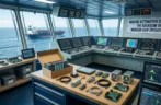
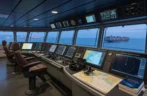
In today’s modern shipping environment, navigation has evolved from traditional paper charts to advanced digital systems integrated with ECDIS and GPS technologies. Understanding how marine navigation charts work—and how to use them effectively—can significantly improve operational safety and efficiency.
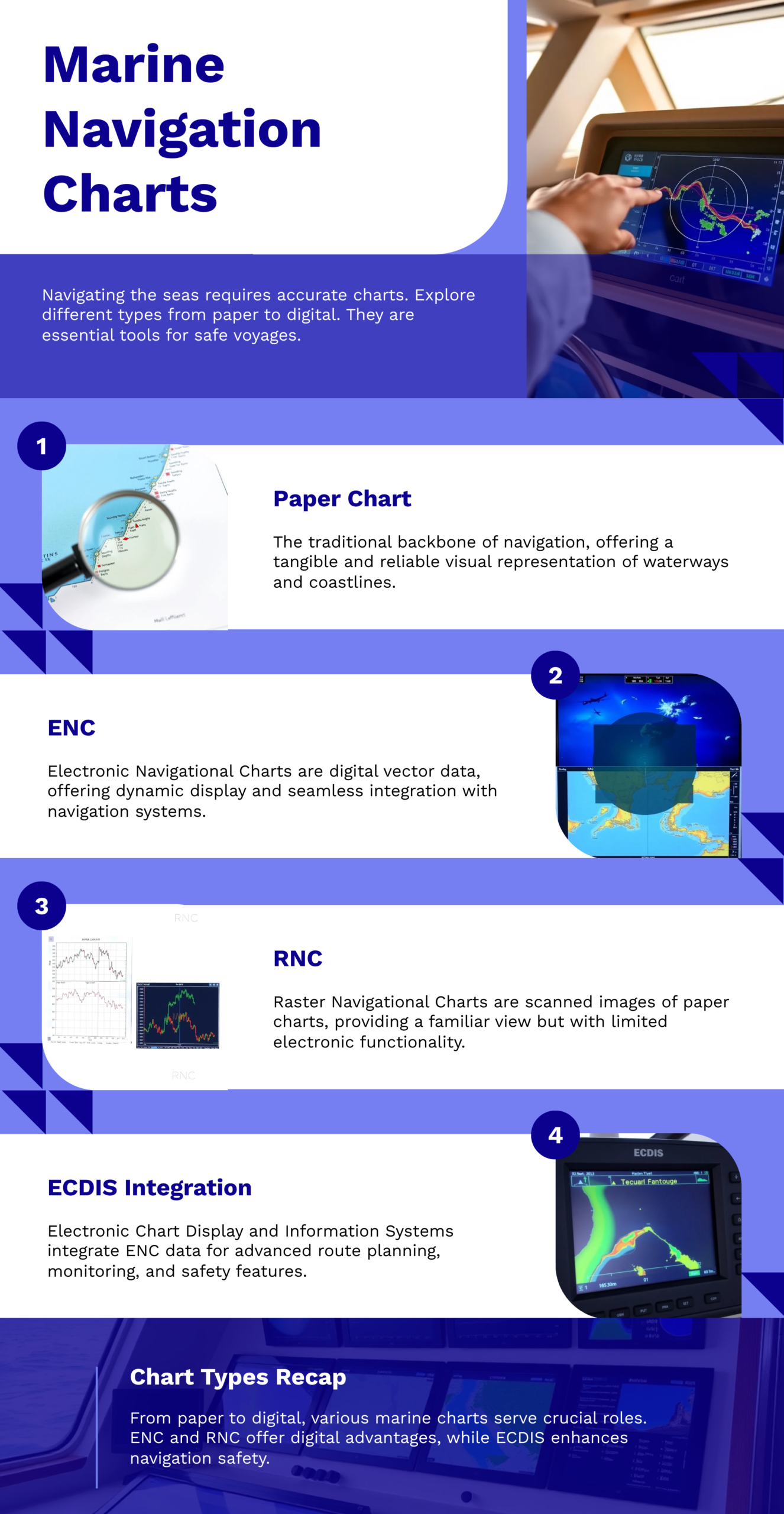
What Are Marine Navigation Charts?
Marine navigation charts are specialized maps designed for maritime use. They provide detailed information about water depths, coastlines, seabed conditions, navigational hazards, ports, and shipping routes.
These charts are created and updated by official hydrographic organizations such as the National Oceanic and Atmospheric Administration (NOAA) and the United Kingdom Hydrographic Office (UKHO), ensuring accuracy and reliability for global maritime operations.
Types of Marine Navigation Charts
1. Paper Navigation Charts
Traditional paper charts are still widely used as backup systems. They are reliable and do not depend on electronic systems, making them essential for emergency navigation.
2. Electronic Navigation Charts (ENC)
ENCs are digital charts used in modern vessels through ECDIS systems. They offer real-time updates, route planning, and integration with GPS and radar systems.
3. Raster Navigation Charts (RNC)
These are scanned versions of paper charts. While useful, they lack the interactivity and advanced features of ENCs.
Importance of Marine Navigation Charts
Safe Navigation: Charts help identify hazards such as shallow waters, reefs, and wrecks, reducing the risk of accidents.
Efficient Route Planning: Marine navigation charts allow optimized routing, saving fuel and time—critical for commercial shipping.
Regulatory Compliance: International maritime regulations require vessels to carry updated charts for safe operations.
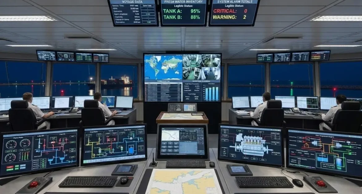
Integration with Modern Systems: Charts work seamlessly with navigation systems like GPS, AIS, and radar for real-time positioning.
Key Features of Navigation Charts
- Water depth (soundings)
- Coastal features and landmarks
- Navigation aids (buoys, lighthouses)
- Shipping lanes and traffic separation schemes
- Port and harbor details
These features ensure vessels operate safely in both open seas and congested ports.
Marine Navigation Charts in Modern Shipping
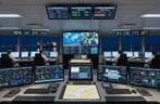
With the adoption of digital transformation in the maritime industry, navigation charts are now integrated into advanced systems such as:
- ECDIS (Electronic Chart Display and Information System)
- GPS and GNSS positioning systems
- Radar overlay systems
- AIS (Automatic Identification System)
Organizations like the International Maritime Organization (IMO) have made ECDIS mandatory for many vessel types, further increasing reliance on digital navigation charts.
How to Choose the Right Navigation Charts
For shipowners and marine engineers, selecting the right navigation charts is crucial:
Accuracy & Updates
Always use charts that are regularly updated with the latest corrections.
Compatibility
Ensure charts are compatible with onboard systems like ECDIS.
Coverage Area
Choose charts that cover your operational routes and ports.
Compliance
Make sure charts meet international maritime standards.
Challenges in Marine Navigation Charts
Despite advancements, some challenges remain:
- Frequent updates required for accuracy
- Dependence on electronic systems
- Risk of outdated data
- Training requirements for crew
To overcome these, proper maintenance, regular updates, and crew training are essential.
Future of Marine Navigation Charts
The future of marine navigation charts is driven by technology:
- AI-based route optimization
- Real-time weather integration
- Cloud-based chart updates
- Autonomous vessel navigation
These innovations will further enhance safety, efficiency, and decision-making in maritime operations.
Conclusion
Marine navigation charts remain a critical component of safe and efficient maritime operations. From traditional paper charts to advanced electronic systems, they provide essential data for navigation, compliance, and operational efficiency.
For shipowners, marine engineers, and shipping companies, investing in updated and reliable navigation charts is not just a requirement—it’s a necessity for safe global operations.